TYPE:
SENSOR
LAYER:
SEN_SPOT6_20180827_150306400_000
FORMAT:
DIMAP
RASTER:
image/tiff
General Information
Map Name
Geometric Processing Level
Radiometric Processing Level
BASIC
Image dimensions
Number of columns
9652
Number of rows
9617
Number of spectral bands
4
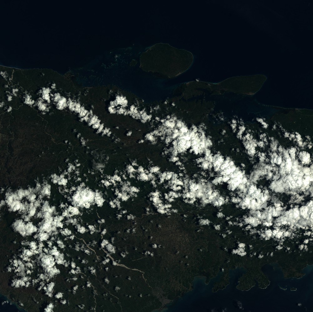
Dataset framing
Vertice
Longitude (DEG)
Latitude (DEG)
Row
Col
#1
-74.0567920805
18.7213044627
1
#2
-73.4783767141
18.7161580022
#3
-73.4804365511
18.1732449343
#4
-74.0543043618
18.1776598389
Dataset sources
SPOT
Coordinate Reference System
Projected Coordinate System
Geocoding tables identification
ITU(0.0)
Production
Production Date
2018-11-16T10:39:16.00Z
Job identification
SPOT6_20181116_101345100u6dzx3rlki_1
Dataset Producer Identification
"SRD GEOSUD / IRD, Irstea, IGN"
Producer link
http://geosud.teledetection.fr/
Quicklook
Copyright