TYPE:
SENSOR
LAYER:
DS_PHR1B_201809271540542_FR1_PX_W074N18_0211_01242
FORMAT:
DIMAP
RASTER:
image/jp2
General Information
Map Name
Geometric Processing Level
Radiometric Processing Level
BASIC
Image dimensions
Number of columns
4983
Number of rows
6849
Number of spectral bands
4
Dataset framing
Vertice
Longitude (DEG)
Latitude (DEG)
Row
Col
#1
-73.93056558471953
18.50836576709948
1
#2
-73.8345972858036
18.50730809130723
#3
-73.83494735145568
18.38326728820127
#4
-73.93173152042803
18.38517189521008
Dataset sources
PHR
Coordinate Reference System
Projected Coordinate System
Geocoding tables identification
EPSG(6.3)
Production
Production Date
2018-09-28T16:04:04.455
Job identification
3336940101-002
Dataset Producer Identification
AIRBUS DS GEO
Producer link
http://www.geo-airbusds.com
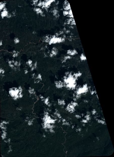
Quicklook
Copyright