TYPE:
SENSOR
LAYER:
DS_PHR1B_201809271540558_FR1_PX_W074N18_0211_01152
FORMAT:
DIMAP
RASTER:
image/jp2
General Information
Map Name
Geometric Processing Level
Radiometric Processing Level
BASIC
Image dimensions
Number of columns
25134
Number of rows
25372
Number of spectral bands
1
Dataset framing
Vertice
Longitude (DEG)
Latitude (DEG)
Row
Col
#1
-73.93171755970617
18.41256589349352
#2
-73.81029260672558
18.41067212985013
#3
-73.80930951942644
18.29470257250503
#4
-73.93107676201058
18.29700478306903
Dataset sources
PHR
Coordinate Reference System
Projected Coordinate System
Geocoding tables identification
EPSG(6.3)
Production
Production Date
2018-09-28T16:04:38.474
Job identification
3336941101-001
Dataset Producer Identification
AIRBUS DS GEO
Producer link
http://www.geo-airbusds.com
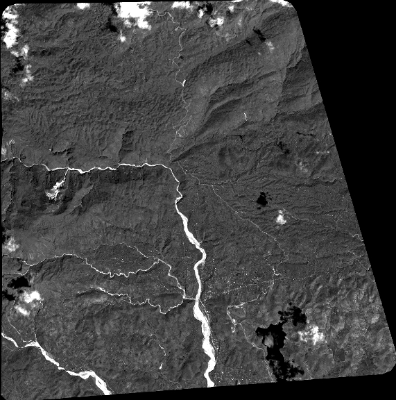
Quicklook
Copyright