TYPE:
SENSOR
LAYER:
DS_PHR1A_201901221540269_FR1_PX_W074N18_0812_01894
FORMAT:
DIMAP
RASTER:
image/jp2
General Information
Map Name
Geometric Processing Level
Radiometric Processing Level
BASIC
Image dimensions
Number of columns
9998
Number of rows
10516
Number of spectral bands
4
Dataset framing
Vertice
Longitude (DEG)
Latitude (DEG)
Row
Col
#1
-73.45832057773588
18.53895140171239
1
#2
-73.25984923379713
18.53584245545681
#3
-73.26006958364498
18.34229612198537
#4
-73.45951382462529
18.34697461607937
Dataset sources
PHR
Coordinate Reference System
Projected Coordinate System
Geocoding tables identification
EPSG(6.3)
Production
Production Date
2019-03-22T13:50:16.147
Job identification
3909479101-002
Dataset Producer Identification
AIRBUS DS GEO
Producer link
http://www.geo-airbusds.com
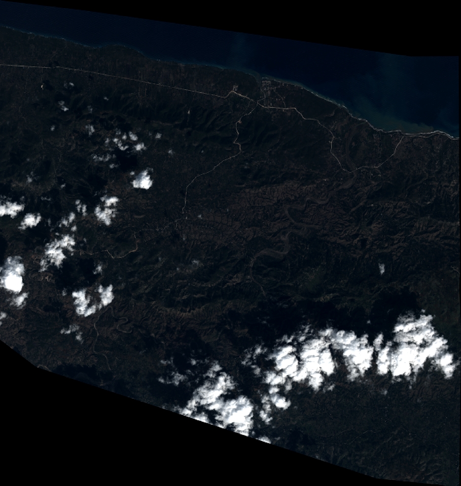
Quicklook
Copyright