TYPE:
SENSOR
LAYER:
DS_PHR1A_201901221540269_FR1_PX_W074N18_0812_01894
FORMAT:
DIMAP
RASTER:
image/jp2
General Information
Map Name
Geometric Processing Level
Radiometric Processing Level
BASIC
Image dimensions
Number of columns
39987
Number of rows
42066
Number of spectral bands
1
Dataset framing
Vertice
Longitude (DEG)
Latitude (DEG)
Row
Col
#1
-73.458328193657
18.53896656517373
#2
-73.25986697422992
18.5358571352957
#3
-73.26008613737484
18.34228896203018
#4
-73.45952072708121
18.34696823554621
Dataset sources
PHR
Coordinate Reference System
Projected Coordinate System
Geocoding tables identification
EPSG(6.3)
Production
Production Date
2019-03-22T13:50:27.277
Job identification
3909479101-001
Dataset Producer Identification
AIRBUS DS GEO
Producer link
http://www.geo-airbusds.com
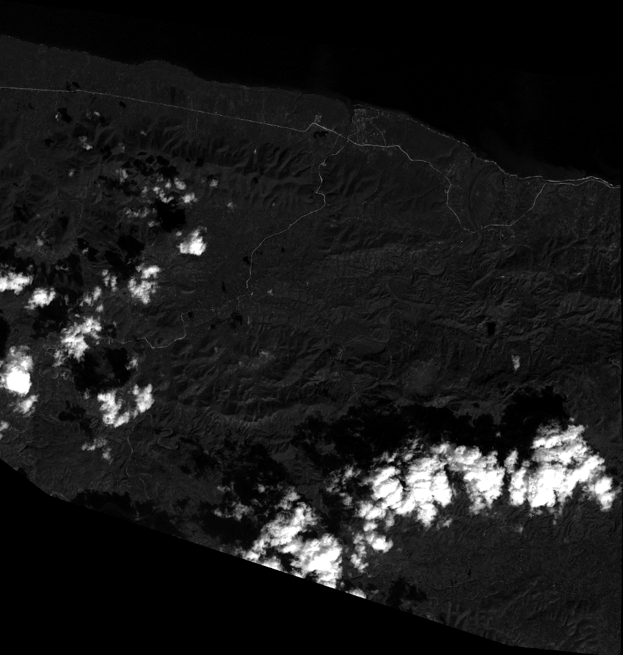
Quicklook
Copyright