TYPE:
SENSOR
LAYER:
DS_PHR1B_201906211536492_FR1_PX_W075N18_1115_01259
FORMAT:
DIMAP
RASTER:
image/jp2
General Information
Map Name
Geometric Processing Level
Radiometric Processing Level
BASIC
Image dimensions
Number of columns
37429
Number of rows
27726
Number of spectral bands
4
Dataset framing
Vertice
Longitude (DEG)
Latitude (DEG)
Row
Col
#1
-74.2508184015178
18.68205311553022
1
#2
-74.07332277970528
18.68256492709629
#3
-74.07328375781925
18.55881951017292
#4
-74.25061934364568
18.55799942291479
Dataset sources
PHR
Coordinate Reference System
Projected Coordinate System
Geocoding tables identification
EPSG(6.3)
Production
Production Date
2019-06-24T14:41:29.459
Job identification
4246383101-001
Dataset Producer Identification
AIRBUS DS GEO
Producer link
http://www.geo-airbusds.com
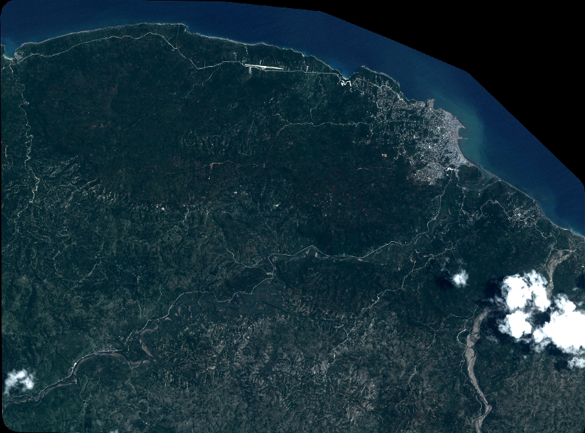
Quicklook
Copyright