TYPE:
SENSOR
LAYER:
DS_PHR1B_201906211537094_FR1_PX_W075N18_1112_00645
FORMAT:
DIMAP
RASTER:
image/jp2
General Information
Map Name
Geometric Processing Level
Radiometric Processing Level
BASIC
Image dimensions
Number of columns
4686
Number of rows
3423
Number of spectral bands
4
Dataset framing
Vertice
Longitude (DEG)
Latitude (DEG)
Row
Col
#1
-74.14148798629839
18.43480614161789
1
#2
-74.05277702642614
18.4345457247451
#3
-74.0528016280082
18.37234732478509
#4
-74.14145498057314
18.37310998259657
Dataset sources
PHR
Coordinate Reference System
Projected Coordinate System
Geocoding tables identification
EPSG(6.3)
Production
Production Date
2019-09-02T13:30:37.768
Job identification
4470193101-002
Dataset Producer Identification
AIRBUS DS GEO
Producer link
http://www.geo-airbusds.com
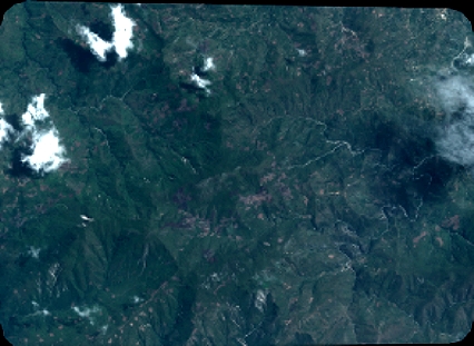
Quicklook
Copyright