TYPE:
ORTHO
LAYER:
DS_PHR1A_201906221529163_FR1_PX_W074N18_1011_01056
FORMAT:
DIMAP
RASTER:
image/jp2
General Information
Map Name
Geometric Processing Level
Radiometric Processing Level
BASIC
Image dimensions
Number of columns
40938
Number of rows
23530
Number of spectral bands
4
Dataset framing
Vertice
Longitude (DEG)
Latitude (DEG)
Row
Col
#1
-73.28967302268997
18.49701755231299
1
#2
-73.09587100446576
18.49516668934643
#3
-73.09704171601999
18.38889550571496
#4
-73.29072472886007
18.39073499185998
Dataset sources
PHR
Coordinate Reference System
Projected Coordinate System
Geocoding tables identification
EPSG(6.3)
Projected Coordinate System name
32618
Projected Coordinate System code
urn:ogc:def:crs:EPSG::32618
Geoposition
Upper - Left Map X Coordinate
680567.25
Upper - Left Map Y Coordinate
2046030.25
Image sampling
0.5 x 0.5
Production
Production Date
2019-06-24T15:29:12.905
Job identification
4246831101
Dataset Producer Identification
AIRBUS DS GEO
Producer link
http://www.geo-airbusds.com
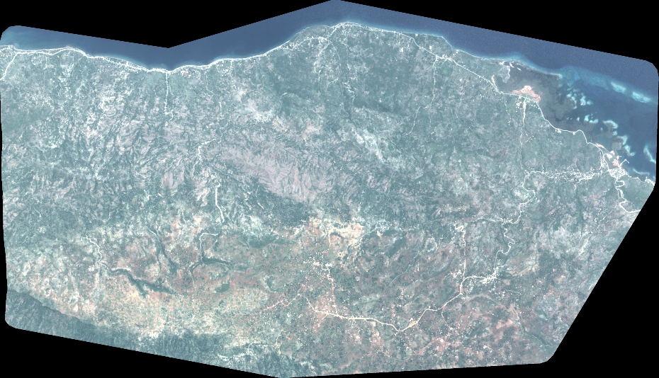
Quicklook
Copyright