TYPE:
ORTHO
LAYER:
DS_PHR1A_201906221529245_FR1_PX_W074N18_0812_01228
FORMAT:
DIMAP
RASTER:
image/jp2
General Information
Map Name
Geometric Processing Level
Radiometric Processing Level
BASIC
Image dimensions
Number of columns
41446
Number of rows
28489
Number of spectral bands
4
Dataset framing
Vertice
Longitude (DEG)
Latitude (DEG)
Row
Col
#1
-73.45633519960079
18.531421108704
1
#2
-73.2600717800869
18.52971570187738
#3
-73.26136871143578
18.40103519825624
#4
-73.45748598791191
18.40272793386543
Dataset sources
PHR
Coordinate Reference System
Projected Coordinate System
Geocoding tables identification
EPSG(6.3)
Projected Coordinate System name
32618
Projected Coordinate System code
urn:ogc:def:crs:EPSG::32618
Geoposition
Upper - Left Map X Coordinate
662935.75
Upper - Left Map Y Coordinate
2049679.25
Image sampling
0.5 x 0.5
Production
Production Date
2019-06-24T15:29:39.913
Job identification
4246832101
Dataset Producer Identification
AIRBUS DS GEO
Producer link
http://www.geo-airbusds.com
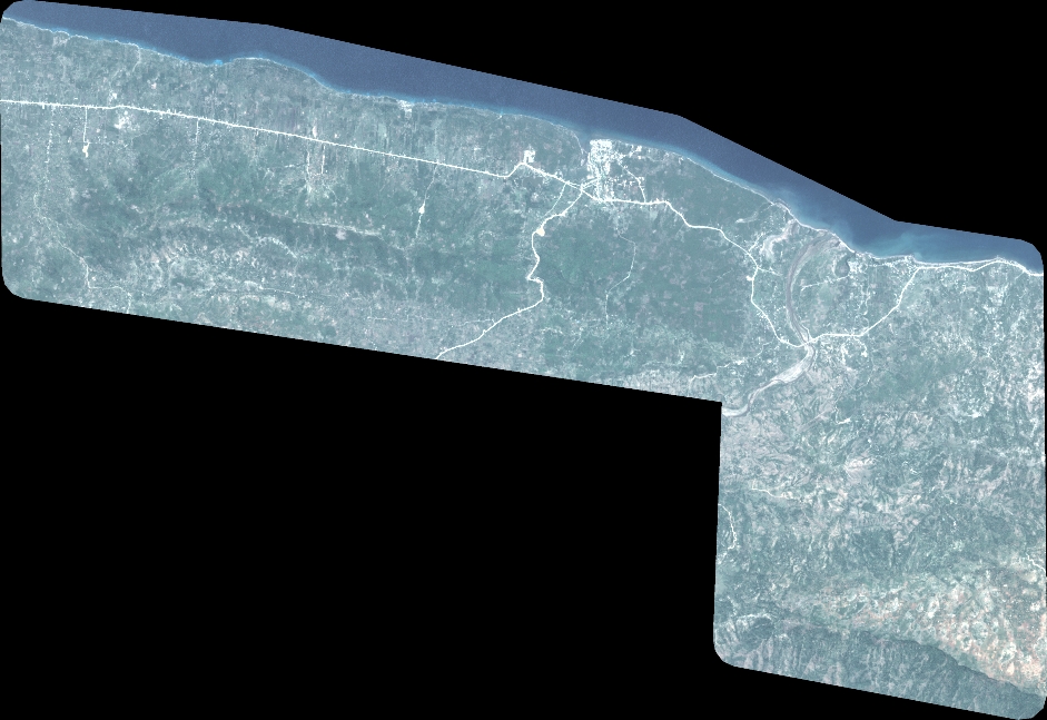
Quicklook
Copyright