TYPE:
SENSOR
LAYER:
DS_PHR1A_201906221529163_FR1_PX_W074N18_1011_01056
FORMAT:
DIMAP
RASTER:
image/jp2
General Information
Map Name
Geometric Processing Level
Radiometric Processing Level
BASIC
Image dimensions
Number of columns
39576
Number of rows
23270
Number of spectral bands
4
Dataset framing
Vertice
Longitude (DEG)
Latitude (DEG)
Row
Col
#1
-73.28992893556605
18.49675444321809
1
#2
-73.0960683829213
18.49494797402367
#3
-73.09604192464872
18.3896787760711
#4
-73.28894956095627
18.39080411068658
Dataset sources
PHR
Coordinate Reference System
Projected Coordinate System
Geocoding tables identification
EPSG(6.3)
Production
Production Date
2019-06-24T14:40:10.705
Job identification
4246384101-001
Dataset Producer Identification
AIRBUS DS GEO
Producer link
http://www.geo-airbusds.com
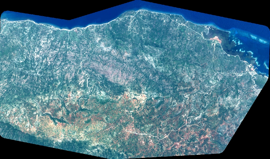
Quicklook
Copyright