TYPE:
SENSOR
LAYER:
DS_PHR1A_201907111532456_FR1_PX_W074N18_0406_01202
FORMAT:
DIMAP
RASTER:
image/jp2
General Information
Map Name
Geometric Processing Level
Radiometric Processing Level
BASIC
Image dimensions
Number of columns
2105
Number of rows
6632
Number of spectral bands
4
Dataset framing
Vertice
Longitude (DEG)
Latitude (DEG)
Row
Col
#1
-73.74059020423518
18.30954281818594
1
#2
-73.6983519793241
18.31142534241152
#3
-73.69853015140728
18.18325667118589
#4
-73.74070220425304
18.18122441561094
Dataset sources
PHR
Coordinate Reference System
Projected Coordinate System
Geocoding tables identification
EPSG(6.3)
Production
Production Date
2019-07-15T08:46:37.470
Job identification
4311196101-004
Dataset Producer Identification
AIRBUS DS GEO
Producer link
http://www.geo-airbusds.com
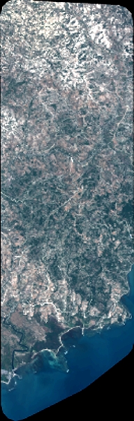
Quicklook
Copyright