TYPE:
SENSOR
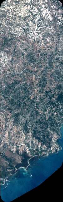
LAYER:
DS_PHR1A_201907111533227_FR1_PX_W074N18_0406_01276
FORMAT:
DIMAP
RASTER:
image/jp2
General Information
Map Name
Geometric Processing Level
Radiometric Processing Level
BASIC
Image dimensions
Number of columns
2202
Number of rows
7069
Number of spectral bands
4
Dataset framing
Vertice
Longitude (DEG)
Latitude (DEG)
Row
Col
#1
-73.7405845719432
18.30997656400892
1
#2
-73.69842456402581
18.30942247970722
#3
-73.69855684519939
18.1813715608948
#4
-73.74064624527195
18.18183888949421
Dataset sources
PHR
Coordinate Reference System
Projected Coordinate System
Geocoding tables identification
EPSG(6.3)
Production
Production Date
2019-07-15T08:47:05.017
Job identification
4311196101-006
Dataset Producer Identification
AIRBUS DS GEO
Producer link
http://www.geo-airbusds.com
Quicklook
Copyright