TYPE:
SENSOR
LAYER:
DS_PHR1A_201907111533315_FR1_PX_W074N18_0406_01246
FORMAT:
DIMAP
RASTER:
image/jp2
General Information
Map Name
Geometric Processing Level
Radiometric Processing Level
BASIC
Image dimensions
Number of columns
2178
Number of rows
6900
Number of spectral bands
4
Dataset framing
Vertice
Longitude (DEG)
Latitude (DEG)
Row
Col
#1
-73.74058633277667
18.31029490462777
1
#2
-73.69845439294706
18.30953610209743
#3
-73.69856197667615
18.18112568953018
#4
-73.74062865161468
18.18181158018169
Dataset sources
PHR
Coordinate Reference System
Projected Coordinate System
Geocoding tables identification
EPSG(6.3)
Production
Production Date
2019-07-15T08:46:58.423
Job identification
4311196101-005
Dataset Producer Identification
AIRBUS DS GEO
Producer link
http://www.geo-airbusds.com
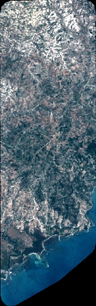
Quicklook
Copyright