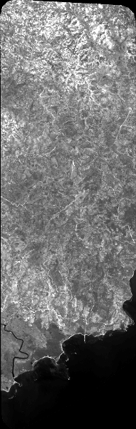
TYPE:
SENSOR
LAYER:
DS_PHR1A_201907111532456_FR1_PX_W074N18_0406_01202
FORMAT:
DIMAP
RASTER:
image/jp2
General Information
Map Name
Geometric Processing Level
Radiometric Processing Level
BASIC
Image dimensions
Number of columns
8415
Number of rows
26526
Number of spectral bands
1
Dataset framing
Vertice
Longitude (DEG)
Latitude (DEG)
Row
Col
#1
-73.74059076160695
18.30955088994394
#2
-73.69836290356874
18.31143264180117
#3
-73.69854168551343
18.18326005192918
#4
-73.74070373107907
18.18122812513955
Dataset sources
PHR
Coordinate Reference System
Projected Coordinate System
Geocoding tables identification
EPSG(6.3)
Production
Production Date
2019-07-15T08:46:36.577
Job identification
4311196101-001
Dataset Producer Identification
AIRBUS DS GEO
Producer link
http://www.geo-airbusds.com
Quicklook
Copyright