TYPE:
SENSOR
LAYER:
DS_PHR1A_201907111533227_FR1_PX_W074N18_0406_01276
FORMAT:
DIMAP
RASTER:
image/jp2
General Information
Map Name
Geometric Processing Level
Radiometric Processing Level
BASIC
Image dimensions
Number of columns
8804
Number of rows
28276
Number of spectral bands
1
Dataset framing
Vertice
Longitude (DEG)
Latitude (DEG)
Row
Col
#1
-73.74058590742835
18.3099811863601
#2
-73.69843066385545
18.30942708825805
#3
-73.69856172791735
18.18136289958887
#4
-73.74064633452855
18.18183020395374
Dataset sources
PHR
Coordinate Reference System
Projected Coordinate System
Geocoding tables identification
EPSG(6.3)
Production
Production Date
2019-07-15T08:46:57.280
Job identification
4311196101-003
Dataset Producer Identification
AIRBUS DS GEO
Producer link
http://www.geo-airbusds.com
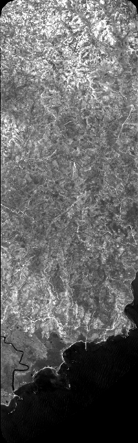
Quicklook
Copyright