TYPE:
SENSOR
LAYER:
DS_PHR1A_201907111533315_FR1_PX_W074N18_0406_01246
FORMAT:
DIMAP
RASTER:
image/jp2
General Information
Map Name
Geometric Processing Level
Radiometric Processing Level
BASIC
Image dimensions
Number of columns
8709
Number of rows
27600
Number of spectral bands
1
Dataset framing
Vertice
Longitude (DEG)
Latitude (DEG)
Row
Col
#1
-73.74059732390604
18.31030285482883
#2
-73.69846536121285
18.30954399970211
#3
-73.69857377299439
18.18111985172834
#4
-73.74064044944944
18.18180572351311
Dataset sources
PHR
Coordinate Reference System
Projected Coordinate System
Geocoding tables identification
EPSG(6.3)
Production
Production Date
2019-07-15T08:47:00.157
Job identification
4311196101-002
Dataset Producer Identification
AIRBUS DS GEO
Producer link
http://www.geo-airbusds.com
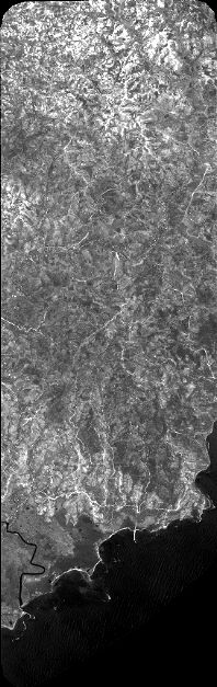
Quicklook
Copyright