TYPE:
SENSOR
LAYER:
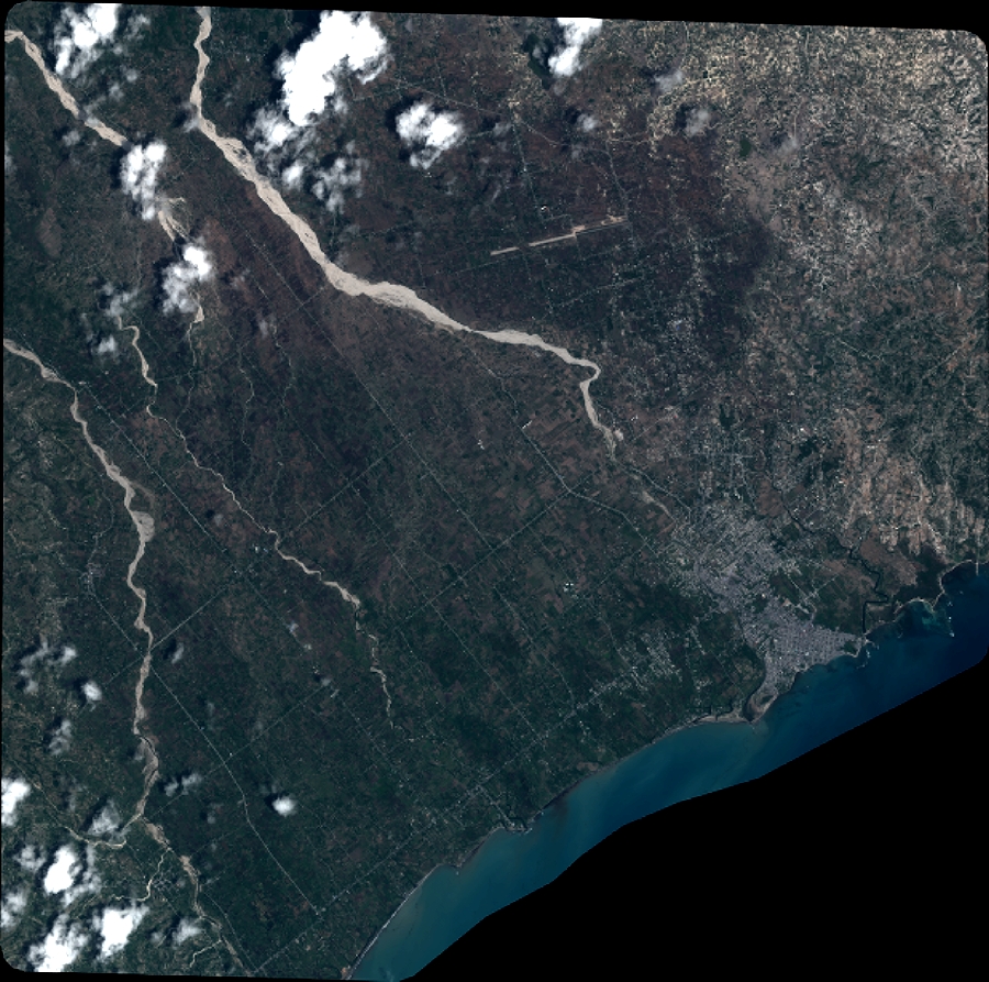
DS_PHR1A_201907111532540_FR1_PX_W074N18_0306_01777
FORMAT:
DIMAP
RASTER:
image/jp2
General Information
Map Name
Geometric Processing Level
Radiometric Processing Level
BASIC
Image dimensions
Number of columns
9903
Number of rows
9816
Number of spectral bands
4
Dataset framing
Vertice
Longitude (DEG)
Latitude (DEG)
Row
Col
#1
-73.90649486073411
18.31045565660747
1
#2
-73.71162269651084
18.31559905091741
#3
-73.71206353578117
18.13317656771704
#4
-73.90629734359456
18.12721230521833
Dataset sources
PHR
Coordinate Reference System
Projected Coordinate System
Geocoding tables identification
EPSG(6.3)
Production
Production Date
2019-07-15T08:51:05.868
Job identification
4311197101-004
Dataset Producer Identification
AIRBUS DS GEO
Producer link
http://www.geo-airbusds.com
Quicklook
Copyright