TYPE:
SENSOR
LAYER:
DS_PHR1A_201907111533055_FR1_PX_W074N18_0306_01788
FORMAT:
DIMAP
RASTER:
image/jp2
General Information
Map Name
Geometric Processing Level
Radiometric Processing Level
BASIC
Image dimensions
Number of columns
10000
Number of rows
9922
Number of spectral bands
4
Dataset framing
Vertice
Longitude (DEG)
Latitude (DEG)
Row
Col
#1
-73.90485022473791
18.31068974689504
1
#2
-73.71211738251465
18.31178839056318
#3
-73.71251649956854
18.13299440927625
#4
-73.90460425632041
18.13117492190463
Dataset sources
PHR
Coordinate Reference System
Projected Coordinate System
Geocoding tables identification
EPSG(6.3)
Production
Production Date
2019-07-15T08:51:09.165
Job identification
4311197101-006
Dataset Producer Identification
AIRBUS DS GEO
Producer link
http://www.geo-airbusds.com
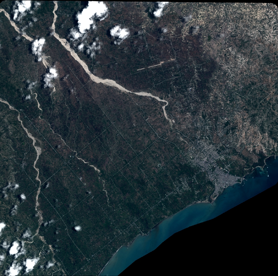
Quicklook
Copyright