TYPE:
SENSOR
LAYER:
DS_PHR1A_201907111533399_FR1_PX_W074N18_0306_01716
FORMAT:
DIMAP
RASTER:
image/jp2
General Information
Map Name
Geometric Processing Level
Radiometric Processing Level
BASIC
Image dimensions
Number of columns
9875
Number of rows
9469
Number of spectral bands
4
Dataset framing
Vertice
Longitude (DEG)
Latitude (DEG)
Row
Col
#1
-73.90647036648251
18.31385688295479
1
#2
-73.71188875244783
18.30980685566005
#3
-73.71220495841753
18.12631919235736
#4
-73.90626350649897
18.12980092438045
Dataset sources
PHR
Coordinate Reference System
Projected Coordinate System
Geocoding tables identification
EPSG(6.3)
Production
Production Date
2019-07-15T08:50:41.764
Job identification
4311197101-005
Dataset Producer Identification
AIRBUS DS GEO
Producer link
http://www.geo-airbusds.com
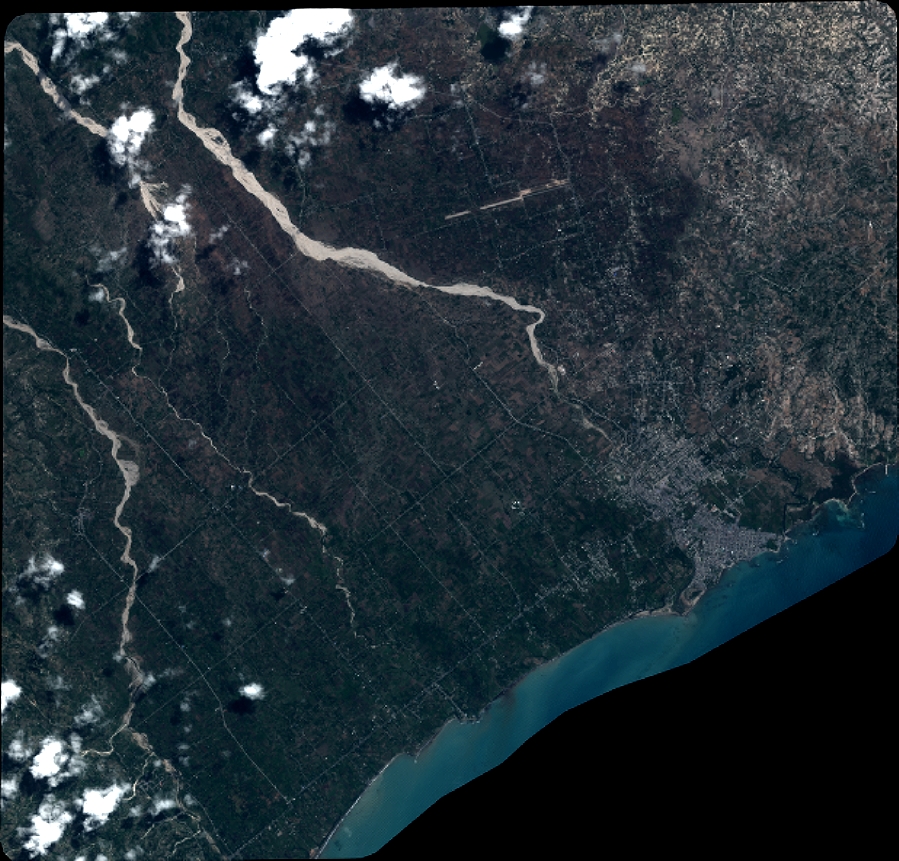
Quicklook
Copyright