TYPE:
SENSOR
LAYER:
DS_PHR1A_201907111532540_FR1_PX_W074N18_0306_01777
FORMAT:
DIMAP
RASTER:
image/jp2
General Information
Map Name
Geometric Processing Level
Radiometric Processing Level
BASIC
Image dimensions
Number of columns
39608
Number of rows
39261
Number of spectral bands
1
Dataset framing
Vertice
Longitude (DEG)
Latitude (DEG)
Row
Col
#1
-73.90649659101898
18.31045753741455
#2
-73.71162926728307
18.31560109724223
#3
-73.71207063995077
18.13317937615933
#4
-73.90629951505966
18.12721507917235
Dataset sources
PHR
Coordinate Reference System
Projected Coordinate System
Geocoding tables identification
EPSG(6.3)
Production
Production Date
2019-07-15T08:51:22.084
Job identification
4311197101-001
Dataset Producer Identification
AIRBUS DS GEO
Producer link
http://www.geo-airbusds.com
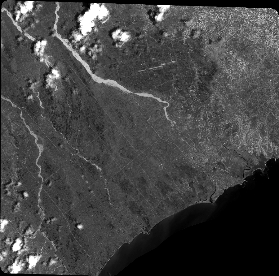
Quicklook
Copyright