TYPE:
SENSOR
LAYER:
SEN_SPOT7_20190711_150520600_000
FORMAT:
DIMAP
RASTER:
image/tiff
General Information
Map Name
Geometric Processing Level
Radiometric Processing Level
BASIC
Image dimensions
Number of columns
9652
Number of rows
10170
Number of spectral bands
4
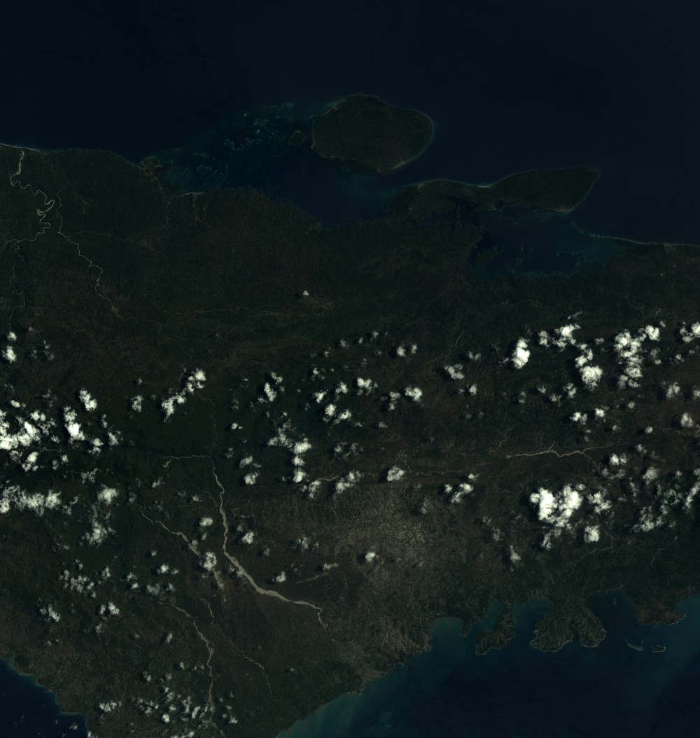
Dataset framing
Vertice
Longitude (DEG)
Latitude (DEG)
Row
Col
#1
-74.0500656765
18.7173803067
1
#2
-73.4818799915
18.7163127655
#3
-73.4824156452
18.1446245435
#4
-74.0489034345
18.1455265378
Dataset sources
SPOT
Coordinate Reference System
Projected Coordinate System
Geocoding tables identification
ITU(0.0)
Production
Production Date
2019-07-12T10:03:46.00Z
Job identification
SPOT7_20190712_0944201oxti7aul2xa2_1
Dataset Producer Identification
"SRD GEOSUD / IRD, Irstea, IGN"
Producer link
http://geosud.teledetection.fr/
Quicklook
Copyright