TYPE:
SENSOR
LAYER:
SEN_SPOT7_20190711_150504000_000
FORMAT:
DIMAP
RASTER:
image/tiff
General Information
Map Name
Geometric Processing Level
Radiometric Processing Level
BASIC
Image dimensions
Number of columns
38609
Number of rows
35077
Number of spectral bands
1
Dataset framing
Vertice
Longitude (DEG)
Latitude (DEG)
Row
Col
#1
-73.5191344848
18.6062954301
#2
-72.9418824395
18.6003879424
#3
-72.9417876907
18.0903435521
#4
-73.5188968452
18.098264346
Dataset sources
SPOT
Coordinate Reference System
Projected Coordinate System
Geocoding tables identification
ITU(0.0)
Production
Production Date
2019-07-12T10:00:18.00Z
Job identification
SPOT7_20190712_0942321c0wvnjs19i9m_1
Dataset Producer Identification
"SRD GEOSUD / IRD, Irstea, IGN"
Producer link
http://geosud.teledetection.fr/
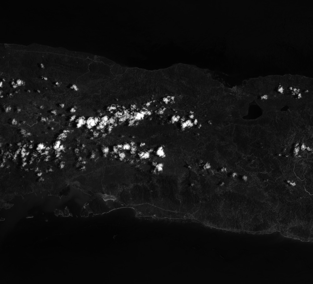
Quicklook
Copyright