TYPE:
SENSOR
LAYER:
SEN_SPOT7_20190711_150542300_000
FORMAT:
DIMAP
RASTER:
image/tiff
General Information
Map Name
Geometric Processing Level
Radiometric Processing Level
BASIC
Image dimensions
Number of columns
9652
Number of rows
9039
Number of spectral bands
4
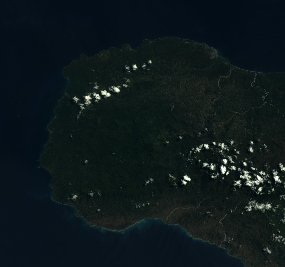
Dataset framing
Vertice
Longitude (DEG)
Latitude (DEG)
Row
Col
#1
-74.5567782915
18.7527805719
1
#2
-73.9718718129
18.7466526213
#3
-73.9731644136
18.2095977782
#4
-74.554870083
18.2129630301
Dataset sources
SPOT
Coordinate Reference System
Projected Coordinate System
Geocoding tables identification
ITU(0.0)
Production
Production Date
2019-07-12T09:57:29.00Z
Job identification
SPOT7_20190712_0941121tu2q7iqmhqnc_1
Dataset Producer Identification
"SRD GEOSUD / IRD, Irstea, IGN"
Producer link
http://geosud.teledetection.fr/
Quicklook
Copyright