TYPE:
SENSOR
LAYER:
SEN_SPOT7_20190711_150504000_000
FORMAT:
DIMAP
RASTER:
image/tiff
General Information
Map Name
Geometric Processing Level
Radiometric Processing Level
BASIC
Image dimensions
Number of columns
9652
Number of rows
8769
Number of spectral bands
4
Dataset framing
Vertice
Longitude (DEG)
Latitude (DEG)
Row
Col
#1
-73.519104707
18.606266234
1
#2
-72.9419125026
18.600359244
#3
-72.941817788
18.0903731372
#4
-73.5188671321
18.0982929963
Dataset sources
SPOT
Coordinate Reference System
Projected Coordinate System
Geocoding tables identification
ITU(0.0)
Production
Production Date
2019-07-12T09:58:39.00Z
Job identification
SPOT7_20190712_0942241x4bon7rnu6oc_1
Dataset Producer Identification
"SRD GEOSUD / IRD, Irstea, IGN"
Producer link
http://geosud.teledetection.fr/
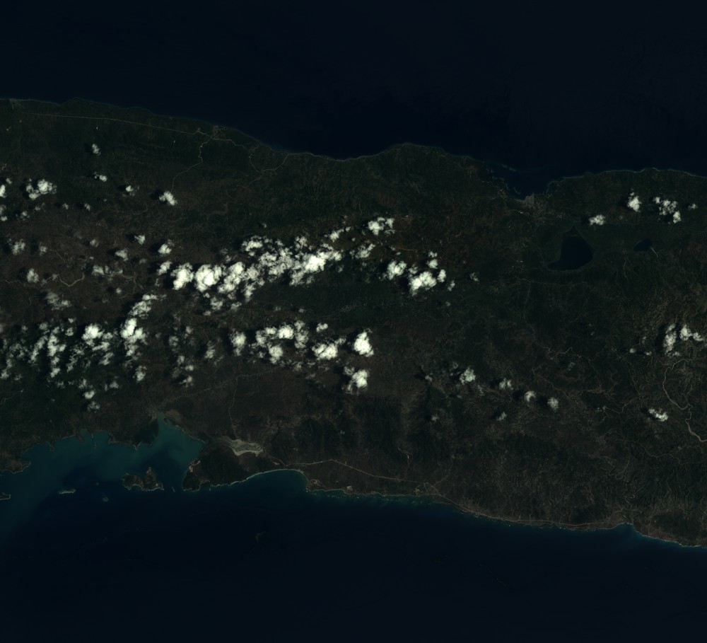
Quicklook
Copyright