TYPE:
SENSOR
LAYER:
SEN_SPOT7_20190711_150520600_000
FORMAT:
DIMAP
RASTER:
image/tiff
General Information
Map Name
Geometric Processing Level
Radiometric Processing Level
BASIC
Image dimensions
Number of columns
38609
Number of rows
40681
Number of spectral bands
1
Dataset framing
Vertice
Longitude (DEG)
Latitude (DEG)
Row
Col
#1
-74.0500952022
18.7174084355
#2
-73.481850534
18.7163407784
#3
-73.4823862614
18.1445963446
#4
-74.048932691
18.1454984219
Dataset sources
SPOT
Coordinate Reference System
Projected Coordinate System
Geocoding tables identification
ITU(0.0)
Production
Production Date
2019-07-12T10:05:43.00Z
Job identification
SPOT7_20190712_0944281a5404citmlux_1
Dataset Producer Identification
"SRD GEOSUD / IRD, Irstea, IGN"
Producer link
http://geosud.teledetection.fr/
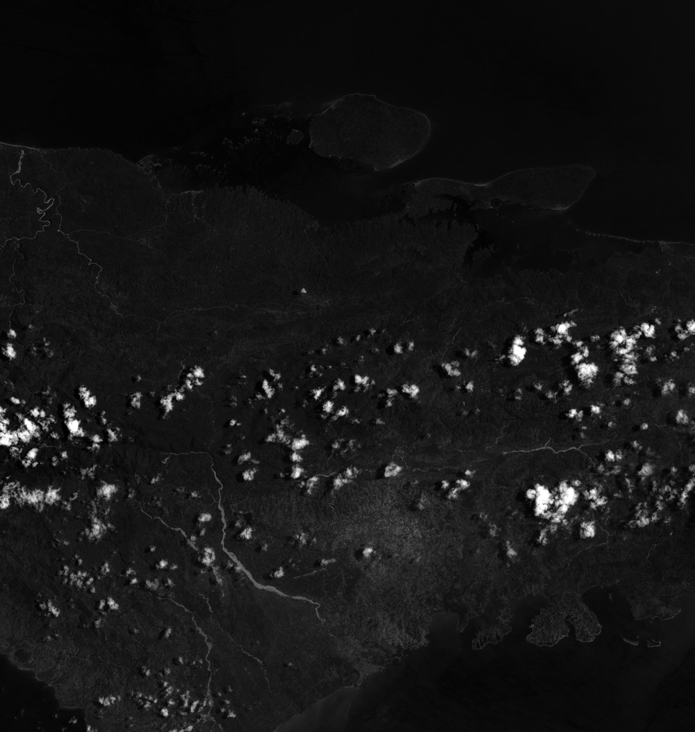
Quicklook
Copyright