TYPE:
SENSOR
LAYER:
SEN_SPOT7_20190718_150156400_000
FORMAT:
DIMAP
RASTER:
image/tiff
General Information
Map Name
Geometric Processing Level
Radiometric Processing Level
BASIC
Image dimensions
Number of columns
9652
Number of rows
5362
Number of spectral bands
4
Dataset framing
Vertice
Longitude (DEG)
Latitude (DEG)
Row
Col
#1
-74.0568145979
18.2346102919
1
#2
-73.4793895393
18.2267876686
#3
-73.4805340449
17.9214208911
#4
-74.0554437648
17.9285377861
Dataset sources
SPOT
Coordinate Reference System
Projected Coordinate System
Geocoding tables identification
ITU(0.0)
Production
Production Date
2019-07-23T07:55:34.00Z
Job identification
SPOT7_20190723_0743401qsmoq9cu2q44_1
Dataset Producer Identification
"SRD GEOSUD / IRD, Irstea, IGN"
Producer link
http://geosud.teledetection.fr/
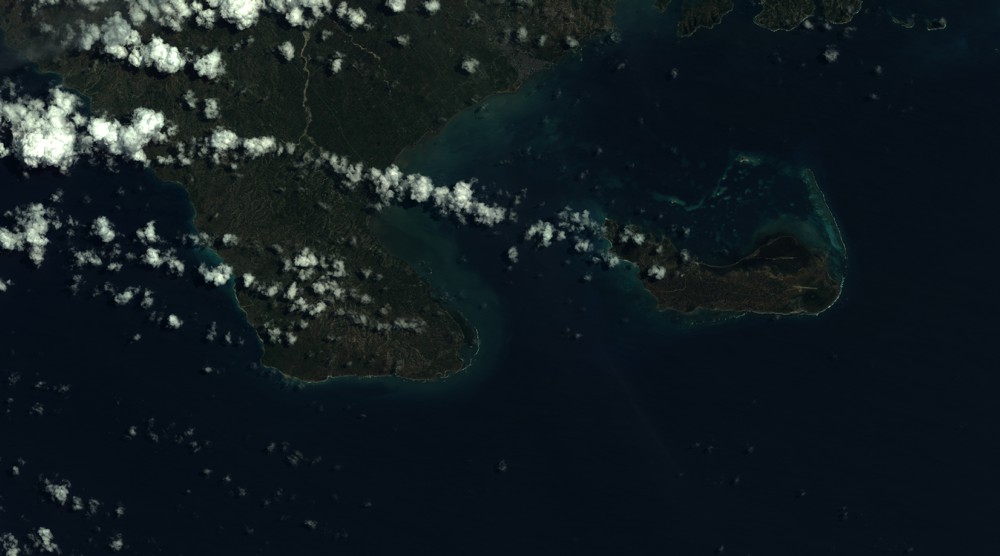
Quicklook
Copyright