TYPE:
SENSOR
LAYER:
SEN_SPOT7_20190718_150156400_000
FORMAT:
DIMAP
RASTER:
image/tiff
General Information
Map Name
Geometric Processing Level
Radiometric Processing Level
BASIC
Image dimensions
Number of columns
38609
Number of rows
21449
Number of spectral bands
1
Dataset framing
Vertice
Longitude (DEG)
Latitude (DEG)
Row
Col
#1
-74.0568450246
18.2346392137
#2
-73.4793598757
18.2268157163
#3
-73.4805046769
17.9213920243
#4
-74.055473756
17.9285095897
Dataset sources
SPOT
Coordinate Reference System
Projected Coordinate System
Geocoding tables identification
ITU(0.0)
Production
Production Date
2019-07-23T07:56:42.00Z
Job identification
SPOT7_20190723_0743471pllwu4v7l18u_1
Dataset Producer Identification
"SRD GEOSUD / IRD, Irstea, IGN"
Producer link
http://geosud.teledetection.fr/
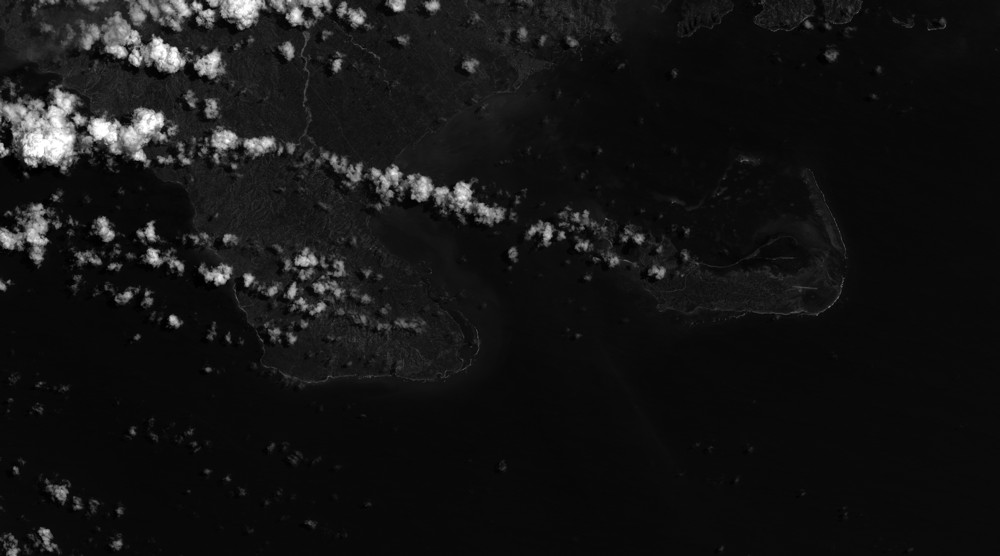
Quicklook
Copyright