TYPE:
SENSOR
LAYER:
SEN_SPOT7_20190718_150140100_000
FORMAT:
DIMAP
RASTER:
image/tiff
General Information
Map Name
Geometric Processing Level
Radiometric Processing Level
BASIC
Image dimensions
Number of columns
9652
Number of rows
9175
Number of spectral bands
4
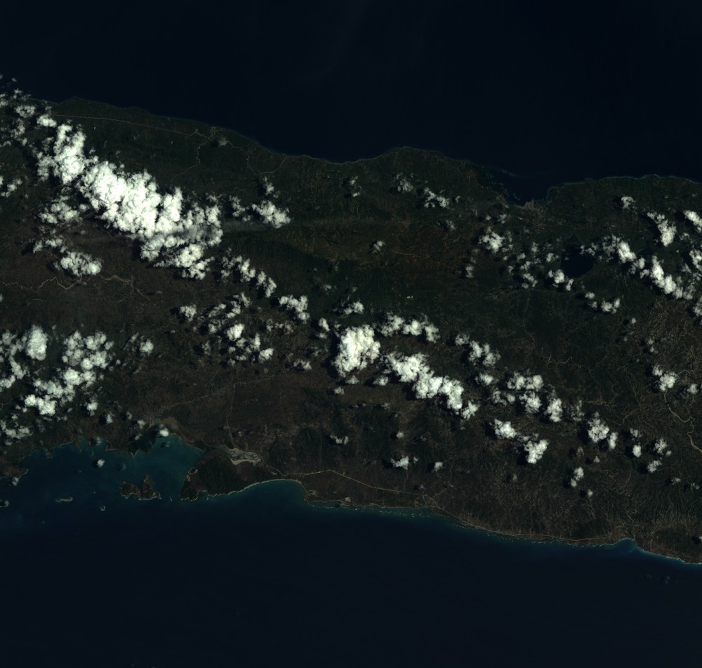
Dataset framing
Vertice
Longitude (DEG)
Latitude (DEG)
Row
Col
#1
-73.5179585446
18.6031955883
1
#2
-72.9474580435
18.6024114865
#3
-72.948648773
18.0862459598
#4
-73.5161523466
18.0870666583
Dataset sources
SPOT
Coordinate Reference System
Projected Coordinate System
Geocoding tables identification
ITU(0.0)
Production
Production Date
2019-07-19T10:37:43.00Z
Job identification
SPOT7_20190719_1020411airvxe0ogs1t_1
Dataset Producer Identification
"SRD GEOSUD / IRD, Irstea, IGN"
Producer link
http://geosud.teledetection.fr/
Quicklook
Copyright