TYPE:
SENSOR
LAYER:
SEN_SPOT7_20190718_150140100_000
FORMAT:
DIMAP
RASTER:
image/tiff
General Information
Map Name
Geometric Processing Level
Radiometric Processing Level
BASIC
Image dimensions
Number of columns
38609
Number of rows
36701
Number of spectral bands
1
Dataset framing
Vertice
Longitude (DEG)
Latitude (DEG)
Row
Col
#1
-73.5179884337
18.6032237177
#2
-72.9474286295
18.6024395395
#3
-72.9486195495
18.086217734
#4
-73.5161817877
18.087038518
Dataset sources
SPOT
Coordinate Reference System
Projected Coordinate System
Geocoding tables identification
ITU(0.0)
Production
Production Date
2019-07-19T10:39:40.00Z
Job identification
SPOT7_20190719_10204814zxa8758tf0u_1
Dataset Producer Identification
"SRD GEOSUD / IRD, Irstea, IGN"
Producer link
http://geosud.teledetection.fr/
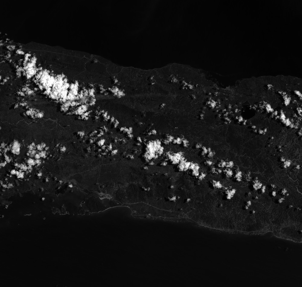
Quicklook
Copyright