TYPE:
SENSOR
LAYER:
DS_PHR1B_201907241533318_FR1_PX_W075N18_1212_00596
FORMAT:
DIMAP
RASTER:
image/jp2
General Information
Map Name
Geometric Processing Level
Radiometric Processing Level
BASIC
Image dimensions
Number of columns
5869
Number of rows
3214
Number of spectral bands
4
Dataset framing
Vertice
Longitude (DEG)
Latitude (DEG)
Row
Col
#1
-74.14177912718588
18.35749169872717
1
#2
-74.02506165196463
18.35169548741574
#3
-74.02658038500761
18.29402052891273
#4
-74.14160740880793
18.29742147443802
Dataset sources
PHR
Coordinate Reference System
Projected Coordinate System
Geocoding tables identification
EPSG(6.3)
Production
Production Date
2019-09-02T13:32:06.360
Job identification
4470195101-002
Dataset Producer Identification
AIRBUS DS GEO
Producer link
http://www.geo-airbusds.com
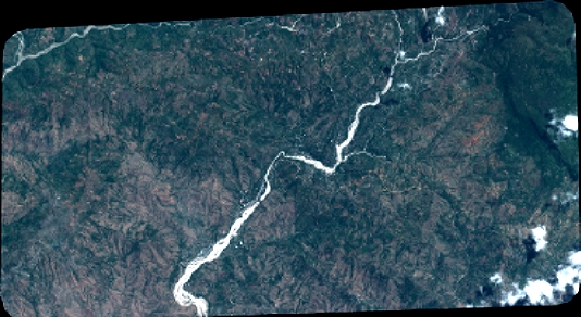
Quicklook
Copyright