TYPE:
SENSOR
LAYER:
DS_PHR1B_201907241533313_FR1_PX_W075N18_1212_00678
FORMAT:
DIMAP
RASTER:
image/jp2
General Information
Map Name
Geometric Processing Level
Radiometric Processing Level
BASIC
Image dimensions
Number of columns
6527
Number of rows
3668
Number of spectral bands
4
Dataset framing
Vertice
Longitude (DEG)
Latitude (DEG)
Row
Col
#1
-74.14136563555435
18.3926770147954
1
#2
-74.01312206370703
18.3881916353045
#3
-74.01386560516399
18.32089190421672
#4
-74.14237702076531
18.32558101483518
Dataset sources
PHR
Coordinate Reference System
Projected Coordinate System
Geocoding tables identification
EPSG(6.3)
Production
Production Date
2019-09-02T13:32:09.789
Job identification
4470194101-002
Dataset Producer Identification
AIRBUS DS GEO
Producer link
http://www.geo-airbusds.com
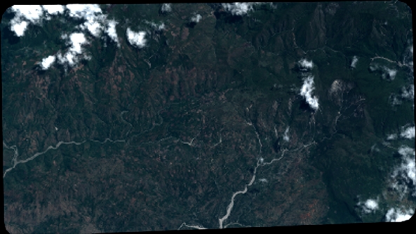
Quicklook
Copyright