TYPE:
SENSOR
LAYER:
DS_PHR1B_201910101533526_FR1_PX_W075N18_0713_03231
FORMAT:
DIMAP
RASTER:
image/jp2
General Information
Map Name
Geometric Processing Level
Radiometric Processing Level
LINEAR_STRETCH
Image dimensions
Number of columns
6459
Number of rows
17792
Number of spectral bands
4
Dataset framing
Vertice
Longitude (DEG)
Latitude (DEG)
Row
Col
#1
-74.4977129203232
18.68311574875993
1
#2
-74.35899219213222
18.67187177321594
#3
-74.36015363057335
18.27323346531573
#4
-74.49739789766015
18.28305064566971
Dataset sources
PHR
Coordinate Reference System
Projected Coordinate System
Geocoding tables identification
EPSG(6.3)
Production
Production Date
2019-12-04T15:18:38.256
Job identification
4686516101-002
Dataset Producer Identification
AIRBUS DS GEO
Producer link
http://www.geo-airbusds.com
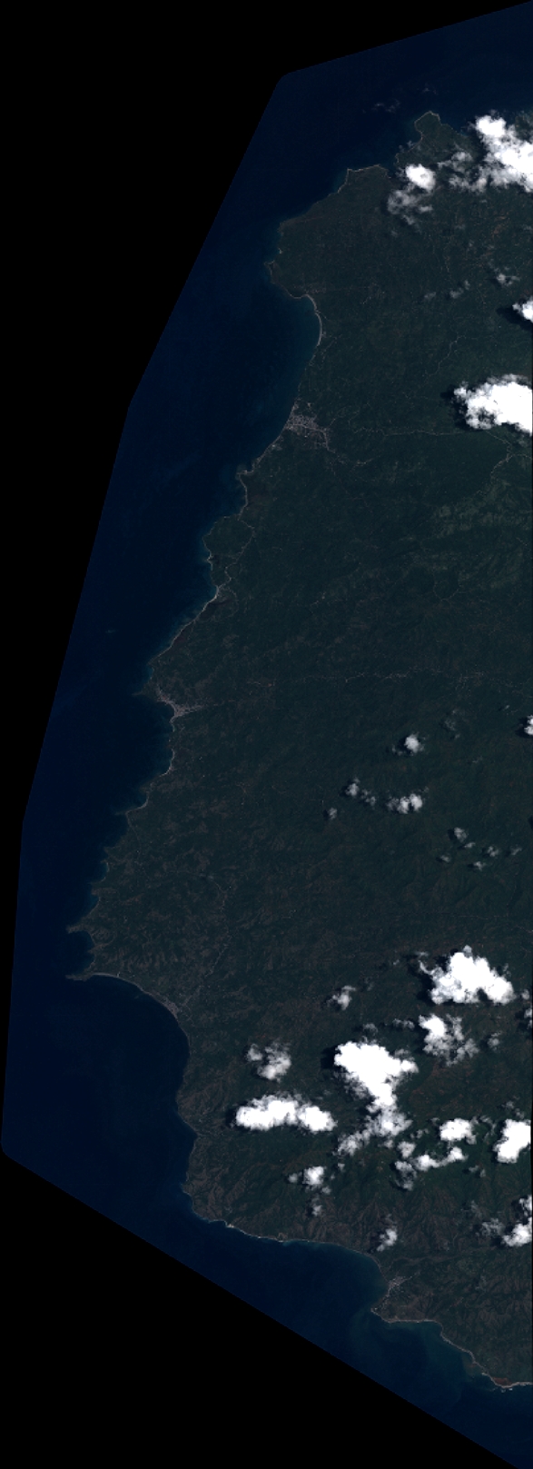
Quicklook
Copyright