TYPE:
SENSOR
LAYER:
DS_PHR1B_201910101533526_FR1_PX_W075N18_0713_03231
FORMAT:
DIMAP
RASTER:
image/jp2
General Information
Map Name
Geometric Processing Level
Radiometric Processing Level
LINEAR_STRETCH
Image dimensions
Number of columns
25835
Number of rows
71170
Number of spectral bands
1
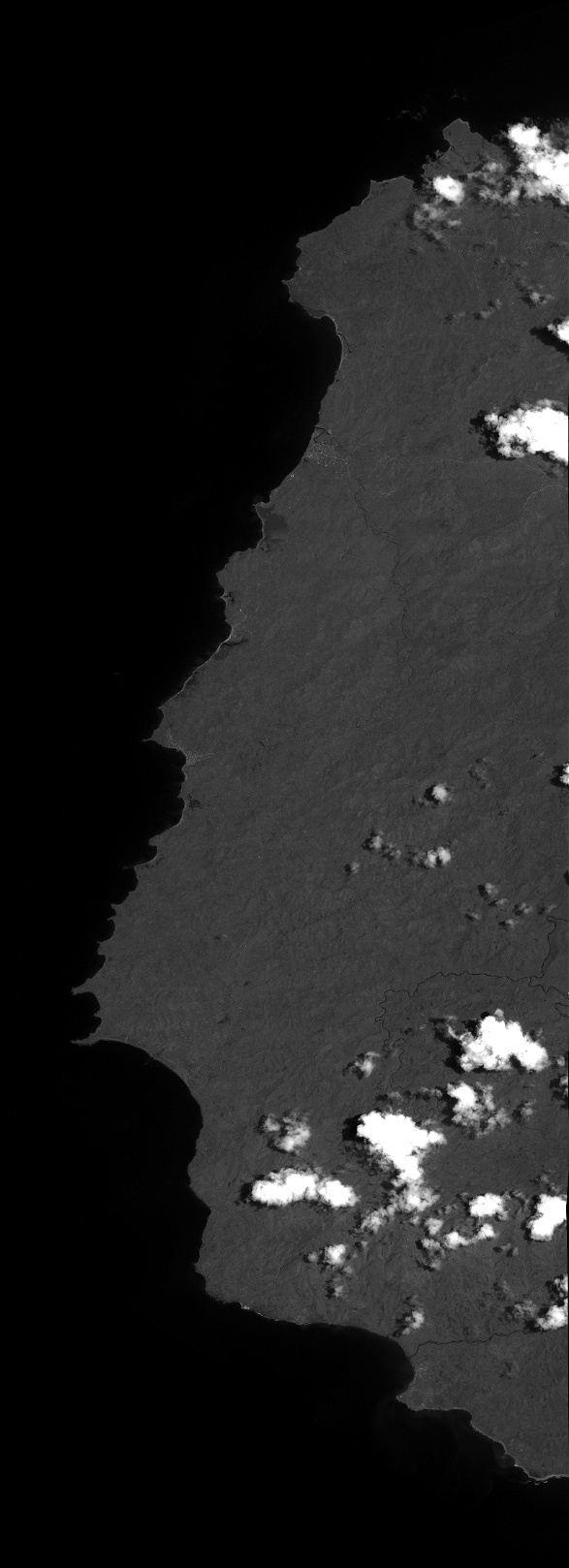
Dataset framing
Vertice
Longitude (DEG)
Latitude (DEG)
Row
Col
#1
-74.49771514029005
18.68313452527508
#2
-74.35898360215108
18.67188981501641
#3
-74.36014577263968
18.27322460875772
#4
-74.49740064245013
18.28304231617582
Dataset sources
PHR
Coordinate Reference System
Projected Coordinate System
Geocoding tables identification
EPSG(6.3)
Production
Production Date
2019-12-04T15:18:48.514
Job identification
4686516101-001
Dataset Producer Identification
AIRBUS DS GEO
Producer link
http://www.geo-airbusds.com
Quicklook
Copyright