TYPE:
SENSOR
LAYER:
DS_PHR1B_201910101532436_FR1_PX_W074N18_1012_01903
FORMAT:
DIMAP
RASTER:
image/tiff
General Information
Map Name
Geometric Processing Level
Radiometric Processing Level
BASIC
Image dimensions
Number of columns
10000
Number of rows
10554
Number of spectral bands
4
Dataset framing
Vertice
Longitude (DEG)
Latitude (DEG)
Row
Col
#1
-73.29962036093282
18.51247857929661
1
#2
-73.10430015057021
18.51670723111486
#3
-73.10430964175197
18.3184697939165
#4
-73.29938606004249
18.31314351650056
Dataset sources
PHR
Coordinate Reference System
Projected Coordinate System
Geocoding tables identification
EPSG(6.3)
Production
Production Date
2021-01-07T09:23:32.759
Job identification
5536720101-2
Dataset Producer Identification
AIRBUS DS GEO
Producer link
http://www.geo-airbusds.com
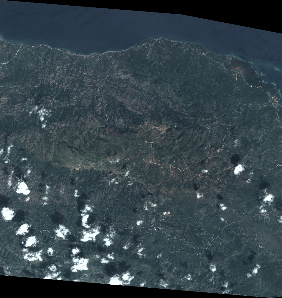
Quicklook
Copyright