TYPE:
SENSOR
LAYER:
DS_PHR1B_201910101532436_FR1_PX_W074N18_1012_01903
FORMAT:
DIMAP
RASTER:
image/tiff
General Information
Map Name
Geometric Processing Level
Radiometric Processing Level
BASIC
Image dimensions
Number of columns
40000
Number of rows
42215
Number of spectral bands
1
Dataset framing
Vertice
Longitude (DEG)
Latitude (DEG)
Row
Col
#1
-73.29962723484783
18.51249406999887
#2
-73.10429233889079
18.51672318883957
#3
-73.10430106924295
18.31847846383902
#4
-73.29939252792273
18.31315048022735
Dataset sources
PHR
Coordinate Reference System
Projected Coordinate System
Geocoding tables identification
EPSG(6.3)
Production
Production Date
2021-01-07T09:22:45.216
Job identification
5536720101-1
Dataset Producer Identification
AIRBUS DS GEO
Producer link
http://www.geo-airbusds.com
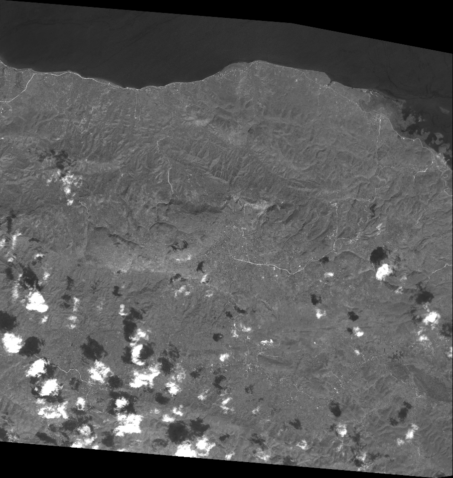
Quicklook
Copyright