TYPE:
SENSOR
LAYER:
DS_PHR1A_201911301540492_FR1_PX_W074N18_0212_00578
FORMAT:
DIMAP
RASTER:
image/jp2
General Information
Map Name
Geometric Processing Level
Radiometric Processing Level
BASIC
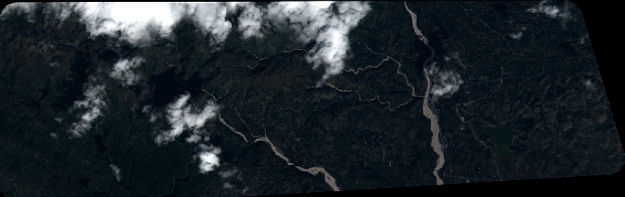
Image dimensions
Number of columns
9944
Number of rows
3140
Number of spectral bands
4
Dataset framing
Vertice
Longitude (DEG)
Latitude (DEG)
Row
Col
#1
-74.00314776137367
18.35322020567847
1
#2
-73.80927024884323
18.35258926785837
#3
-73.80929697474188
18.2959794081534
#4
-74.0020910453609
18.29680653312622
Dataset sources
PHR
Coordinate Reference System
Projected Coordinate System
Geocoding tables identification
EPSG(6.3)
Production
Production Date
2019-12-03T10:59:35.128
Job identification
4683434101-002
Dataset Producer Identification
AIRBUS DS GEO
Producer link
http://www.geo-airbusds.com
Quicklook
Copyright