TYPE:
SENSOR
LAYER:
DS_PHR1B_201912131540511_FR1_PX_W075N18_1212_00591
FORMAT:
DIMAP
RASTER:
image/jp2
General Information
Map Name
Geometric Processing Level
Radiometric Processing Level
BASIC
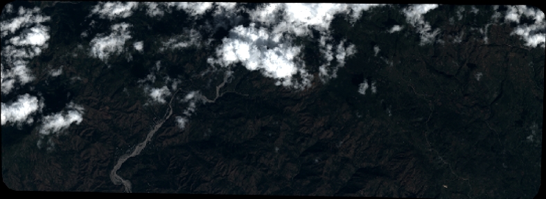
Image dimensions
Number of columns
8663
Number of rows
3155
Number of spectral bands
4
Dataset framing
Vertice
Longitude (DEG)
Latitude (DEG)
Row
Col
#1
-74.14133490173964
18.3520155775151
1
#2
-73.97485033230349
18.35369144116935
#3
-73.97301206817323
18.29714415896483
#4
-74.14145192637862
18.29416164729612
Dataset sources
PHR
Coordinate Reference System
Projected Coordinate System
Geocoding tables identification
EPSG(6.3)
Production
Production Date
2019-12-18T09:27:48.665
Job identification
4714715101-002
Dataset Producer Identification
AIRBUS DS GEO
Producer link
http://www.geo-airbusds.com
Quicklook
Copyright