TYPE:
SENSOR
LAYER:
DS_PHR1B_202009191529494_FR1_PX_W074N18_1012_00643
FORMAT:
DIMAP
RASTER:
image/tiff
General Information
Map Name
Geometric Processing Level
Radiometric Processing Level
BASIC
Image dimensions
Number of columns
9841
Number of rows
3463
Number of spectral bands
4
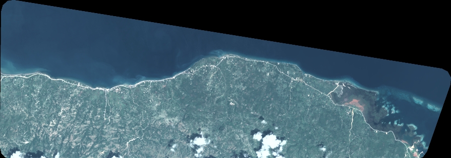
Dataset framing
Vertice
Longitude (DEG)
Latitude (DEG)
Row
Col
#1
-73.2862324465451
18.5125587389859
1
#2
-73.09384329367397
18.51040868956385
#3
-73.09398265211131
18.4477236612857
#4
-73.28578191559528
18.44943885391181
Dataset sources
PHR
Coordinate Reference System
Projected Coordinate System
Geocoding tables identification
EPSG(6.3)
Production
Production Date
2020-09-22T09:21:44.565
Job identification
5338337101-2
Dataset Producer Identification
AIRBUS DS GEO
Producer link
http://www.geo-airbusds.com
Quicklook
Copyright