TYPE:
SENSOR
LAYER:
DS_PHR1B_202009191529494_FR1_PX_W074N18_1012_00643
FORMAT:
DIMAP
RASTER:
image/tiff
General Information
Map Name
Geometric Processing Level
Radiometric Processing Level
BASIC
Image dimensions
Number of columns
39361
Number of rows
13853
Number of spectral bands
1
Dataset framing
Vertice
Longitude (DEG)
Latitude (DEG)
Row
Col
#1
-73.28623649579008
18.51256645278615
#2
-73.09384726467829
18.51041651486896
#3
-73.09398662185139
18.44771346609052
#4
-73.2857858742983
18.44942844382411
Dataset sources
PHR
Coordinate Reference System
Projected Coordinate System
Geocoding tables identification
EPSG(6.3)
Production
Production Date
2020-09-22T09:04:05.126
Job identification
5338337101-1
Dataset Producer Identification
AIRBUS DS GEO
Producer link
http://www.geo-airbusds.com
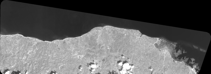
Quicklook
Copyright