TYPE:
SENSOR
LAYER:
DS_PHR1B_202009191530074_FR1_PX_W074N18_0813_00754
FORMAT:
DIMAP
RASTER:
image/tiff
General Information
Map Name
Geometric Processing Level
Radiometric Processing Level
LINEAR_STRETCH
Image dimensions
Number of columns
9998
Number of rows
4014
Number of spectral bands
4
Dataset framing
Vertice
Longitude (DEG)
Latitude (DEG)
Row
Col
#1
-73.45987702076566
18.54054333437795
1
#2
-73.26015062483462
18.53160977783372
#3
-73.26007892685807
18.45459546633749
#4
-73.45896304126912
18.46253379994159
Dataset sources
PHR
Coordinate Reference System
Projected Coordinate System
Geocoding tables identification
EPSG(6.3)
Production
Production Date
2020-09-24T16:16:45.250
Job identification
5343013101-2
Dataset Producer Identification
AIRBUS DS GEO
Producer link
http://www.geo-airbusds.com
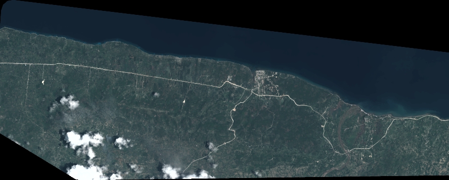
Quicklook
Copyright