TYPE:
SENSOR
LAYER:
DS_PHR1B_202009191530074_FR1_PX_W074N18_0813_00754
FORMAT:
DIMAP
RASTER:
image/tiff
General Information
Map Name
Geometric Processing Level
Radiometric Processing Level
LINEAR_STRETCH
Image dimensions
Number of columns
39991
Number of rows
16053
Number of spectral bands
1
Dataset framing
Vertice
Longitude (DEG)
Latitude (DEG)
Row
Col
#1
-73.45988466074925
18.5405563962538
#2
-73.26014820072918
18.53162129441308
#3
-73.26007715331582
18.45460784115517
#4
-73.45897099027516
18.4625471393254
Dataset sources
PHR
Coordinate Reference System
Projected Coordinate System
Geocoding tables identification
EPSG(6.3)
Production
Production Date
2020-09-24T16:16:41.149
Job identification
5343013101-1
Dataset Producer Identification
AIRBUS DS GEO
Producer link
http://www.geo-airbusds.com
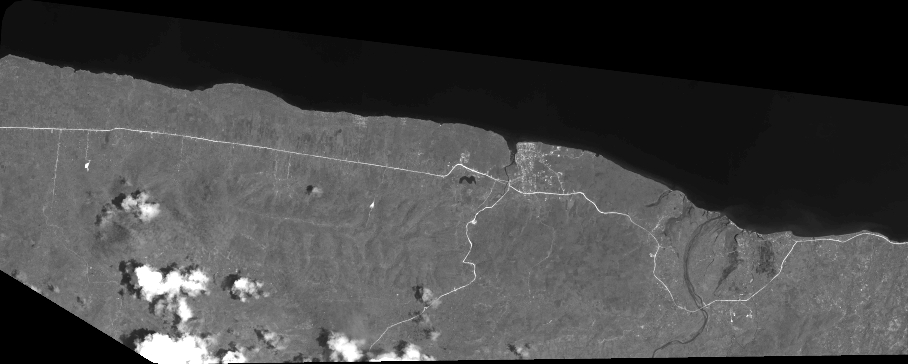
Quicklook
Copyright