TYPE:
SENSOR
LAYER:
DS_PHR1B_202009241541221_FR1_PX_W074N18_0811_02192
FORMAT:
DIMAP
RASTER:
image/tiff
General Information
Map Name
Geometric Processing Level
Radiometric Processing Level
BASIC
Image dimensions
Number of columns
10000
Number of rows
12174
Number of spectral bands
4
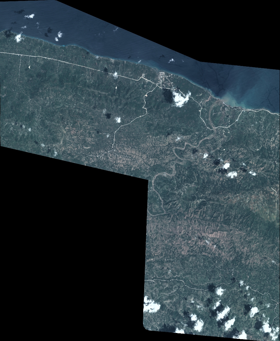
Dataset framing
Vertice
Longitude (DEG)
Latitude (DEG)
Row
Col
#1
-73.46184936583757
18.54862253779264
1
#2
-73.25789761288249
18.55723445478707
#3
-73.25802668887431
18.32747994187303
#4
-73.4630080671438
18.32039068914619
Dataset sources
PHR
Coordinate Reference System
Projected Coordinate System
Geocoding tables identification
EPSG(6.3)
Production
Production Date
2021-01-07T15:35:58.133
Job identification
5537271101-2
Dataset Producer Identification
AIRBUS DS GEO
Producer link
http://www.geo-airbusds.com
Quicklook
Copyright