TYPE:
SENSOR
LAYER:
DS_PHR1B_202009241541221_FR1_PX_W074N18_0811_02192
FORMAT:
DIMAP
RASTER:
image/tiff
General Information
Map Name
Geometric Processing Level
Radiometric Processing Level
BASIC
Image dimensions
Number of columns
40000
Number of rows
48698
Number of spectral bands
1
Dataset framing
Vertice
Longitude (DEG)
Latitude (DEG)
Row
Col
#1
-73.46185567271901
18.54863886457645
#2
-73.25788864079317
18.55725225676313
#3
-73.25801773593867
18.32747636440346
#4
-73.46301392073123
18.32038625410387
Dataset sources
PHR
Coordinate Reference System
Projected Coordinate System
Geocoding tables identification
EPSG(6.3)
Production
Production Date
2021-01-07T15:37:32.959
Job identification
5537271101-1
Dataset Producer Identification
AIRBUS DS GEO
Producer link
http://www.geo-airbusds.com
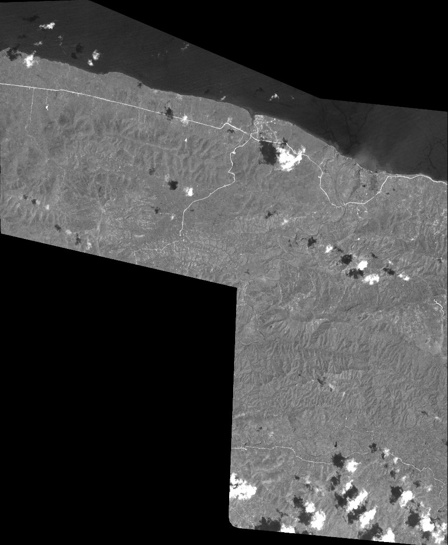
Quicklook
Copyright