TYPE:
SENSOR
LAYER:
DS_PHR1B_202010151530031_FR1_PX_W074N18_0812_01378
FORMAT:
DIMAP
RASTER:
image/tiff
General Information
Map Name
Geometric Processing Level
Radiometric Processing Level
LINEAR_STRETCH
Image dimensions
Number of columns
9887
Number of rows
7558
Number of spectral bands
4
Dataset framing
Vertice
Longitude (DEG)
Latitude (DEG)
Row
Col
#1
-73.4526328401693
18.5393280086322
1
#2
-73.25714968316656
18.53324492669956
#3
-73.25671456227113
18.39276976784792
#4
-73.45202670828398
18.39842867797365
Dataset sources
PHR
Coordinate Reference System
Projected Coordinate System
Geocoding tables identification
EPSG(6.3)
Production
Production Date
2020-11-06T11:03:46.996
Job identification
5467413101-2
Dataset Producer Identification
AIRBUS DS GEO
Producer link
http://www.geo-airbusds.com
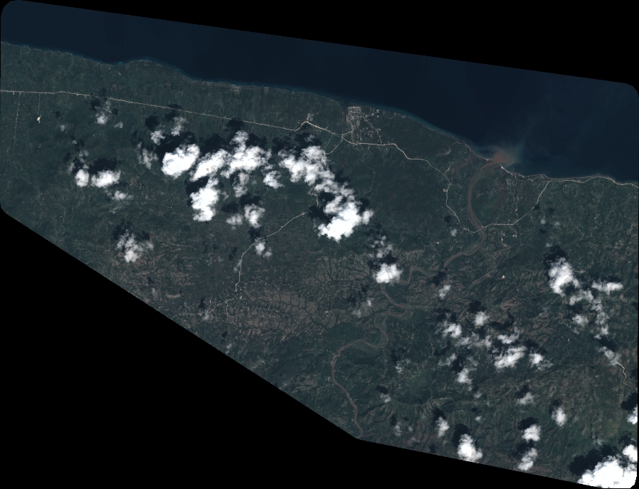
Quicklook
Copyright