TYPE:
SENSOR
LAYER:
DS_PHR1A_202012311537183_FR1_PX_W074N18_1011_01213
FORMAT:
DIMAP
RASTER:
image/tiff
General Information
Map Name
Geometric Processing Level
Radiometric Processing Level
LINEAR_STRETCH
Image dimensions
Number of columns
9766
Number of rows
6615
Number of spectral bands
4
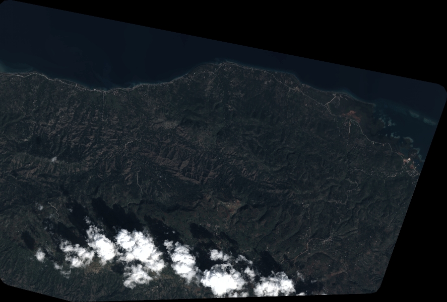
Dataset framing
Vertice
Longitude (DEG)
Latitude (DEG)
Row
Col
#1
-73.28487930835144
18.51237776201707
1
#2
-73.09397125096814
18.51753618479841
#3
-73.0941869581486
18.39454715856492
#4
-73.2855248085399
18.38949577198486
Dataset sources
PHR
Coordinate Reference System
Projected Coordinate System
Geocoding tables identification
EPSG(6.3)
Production
Production Date
2021-01-04T16:49:40.341
Job identification
5533742101-2
Dataset Producer Identification
AIRBUS DS GEO
Producer link
http://www.geo-airbusds.com
Quicklook
Copyright