TYPE:
SENSOR
LAYER:
DS_PHR1A_202012311537183_FR1_PX_W074N18_1011_01213
FORMAT:
DIMAP
RASTER:
image/tiff
General Information
Map Name
Geometric Processing Level
Radiometric Processing Level
LINEAR_STRETCH
Image dimensions
Number of columns
39061
Number of rows
26459
Number of spectral bands
1
Dataset framing
Vertice
Longitude (DEG)
Latitude (DEG)
Row
Col
#1
-73.28488597979145
18.51238011696477
#2
-73.09397796360534
18.51753846195301
#3
-73.09419345918857
18.39453936535281
#4
-73.28553068539844
18.38948877859888
Dataset sources
PHR
Coordinate Reference System
Projected Coordinate System
Geocoding tables identification
EPSG(6.3)
Production
Production Date
2021-01-04T16:49:55.739
Job identification
5533742101-1
Dataset Producer Identification
AIRBUS DS GEO
Producer link
http://www.geo-airbusds.com
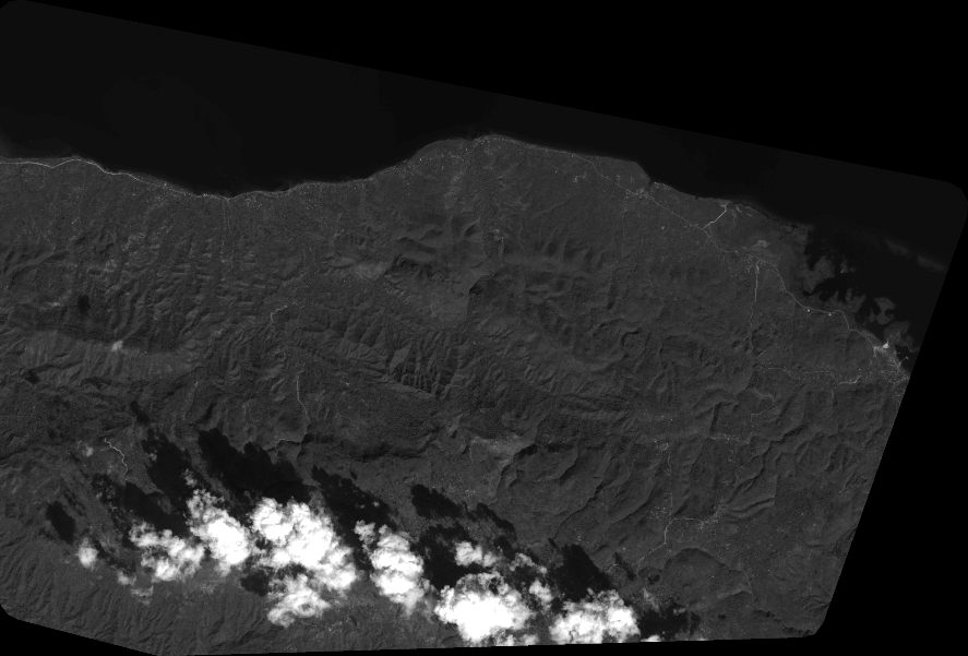
Quicklook
Copyright