Training in Cartography and Land Use in Port au Prince
Port-au Prince from 10 to 14 decembrer 2018
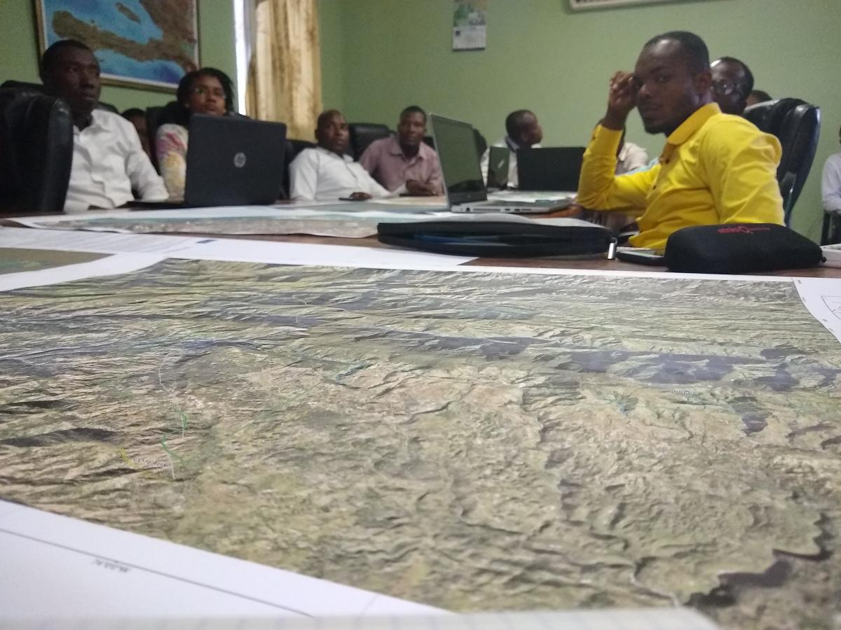
In the week of December 10th, 2018, the RO Haiti team organized a week of training with actors of achievement of added value products in Haiti of the RO.
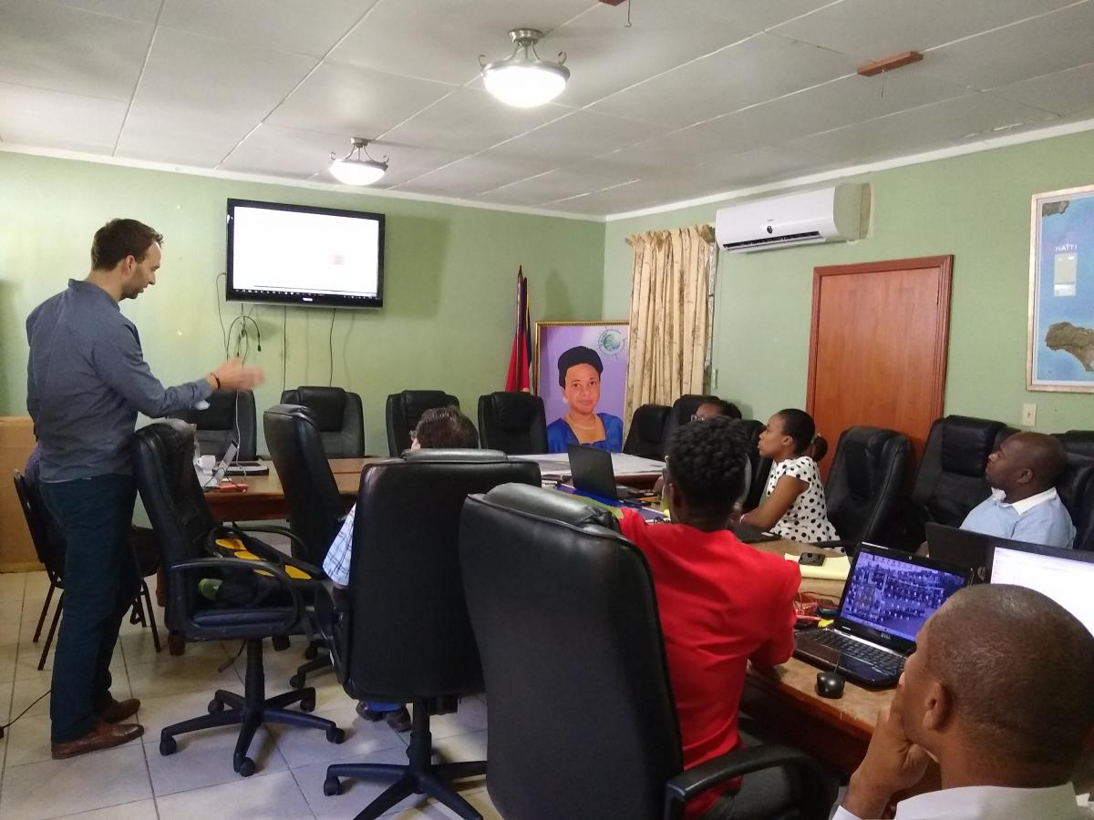
The purpose of this mission was to train GIS experts in the creation of capacity recovery maps in the following themes: Urban and peri-urban, Forest and Macaya Park, Mangrove, Coastline, Agriculture, Land cover and the IOTA2 chain.
Each of the themes was discussed in the presence of 8 to 10 trainees.
This mission was also an opportunity to organize a RO Steering Committee, to make a point of progress of the project with the local actors and to meet new partners.
The different documents of this seminar are available here:
=> Formation's présentation <=