Introductory courses in Port au Prince
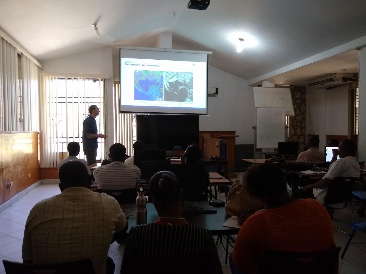
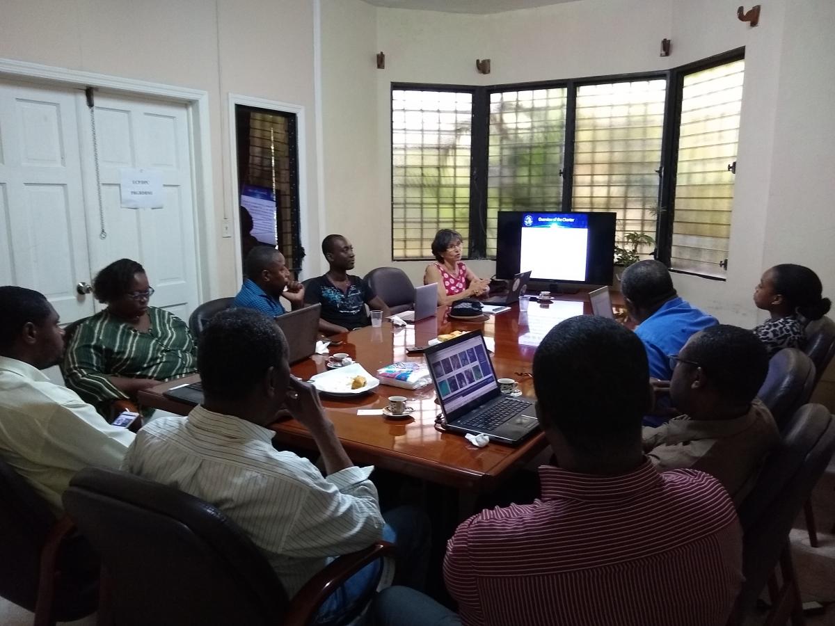
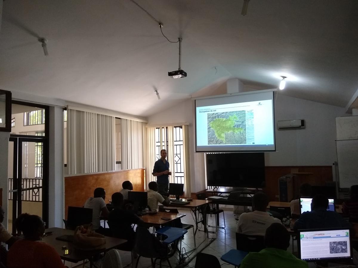
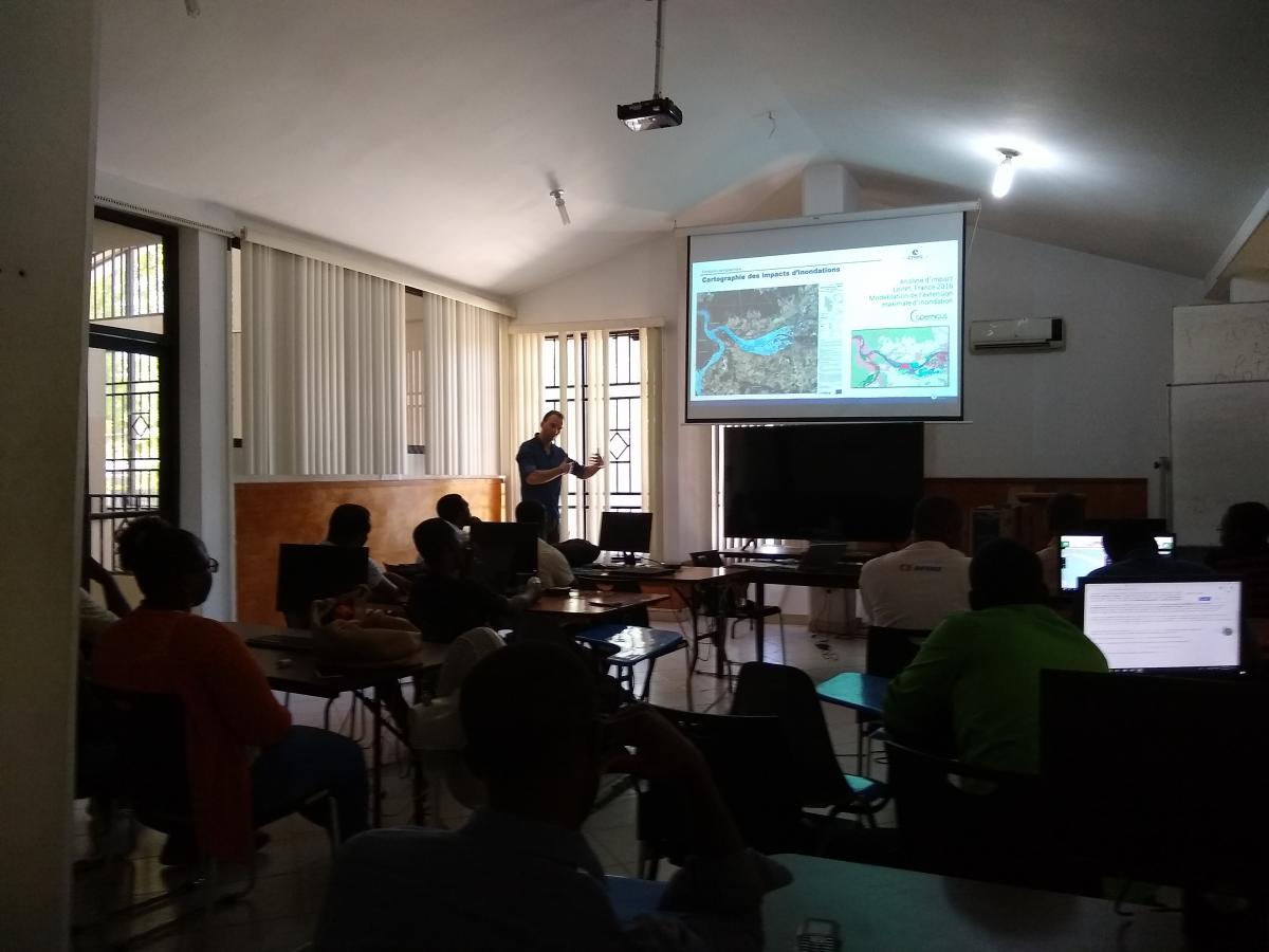
During the mission carried out by the team in Haiti between April 25 and May 4, 2019, different trainings were given for academics and executives working in remote sensing in Port-au-Prince. Several courses were given by CEOS international experts (ASI, CNES, SERTIT) on optical and radar telemetry, but also half a day was devoted to the transmission of KalHaiti's images and products database and to a first training for civil protection agents and CNIGS in Haiti who will be at the helm of the activation of the International Charter "Space and Major Disasters"
All courses took place at the LNBTP Training Room.
To access the slides of the training, please see the program below :
Friday, April 26 : 09 :30 – 12 :00
Kal-Haïti Database on recovery after earthquake
Agwilh COLLET (CNES)
Hélène de Boissezon (CNES)
Friday, April 26 : 14 :00 – 16 :00
International Charter "Space and Major Disasters"
(slides unavailable)
Hélène de Boissezon (CNES)
Saturday, April 27 : 09 :00 – 10 :00
Basic optical maging and comparison with radar imagery
Agwilh COLLET (CNES)
Robin FAIVRE (SERTIT)
Saturday, April 27 : 10 :00 – 11 :00
Land Use Land Cover Classification with IOTA2/OTB
Agwilh COLLET (CNES)
Philémon MONDESIR (CNIGS)
Saturday, May 4 : 08 :00 – 09 :00
Radar Imagery Initiation (SAR)
Francesca CIGNA (ASI)
Deodato Tapete (ASI)
Philémon MONDESIR (CNIGS)
Saturday, May 4 : 09 :00 – 10 :00
Examples of applications using SAR imagery
Francesca CIGNA (ASI)
Deodato Tapete (ASI)