The purpose of this study is to carry out the classification of Macaya Park according to the standars used in Haiti. This inventory is carried out on three separate dates, in order to obtain a database characterizing the state of the park according to three time points: two pre-Matthew states and one post-Matthew state (in this case 6 months). The three dates corresponded to the images available on the 2016/2017 time interval, two of which were located on the same season, which allowed a comparison.
Work done by SERTIT, contract CNES
Imagery : CNIGS / CNES
| T_ref_echantillons | T1 | T2 | T3 |
| Orthophoto (25cm) 2014 |
SPOT 6 (1,5m) January, 8 2016 |
SPOT 7 (1,5m) June, 25 2016 |
SPOT 7 (1,5m) February, 14 2017 |
Use of 4 multi-spectral bands (B / V / R / PIR) at 6m.
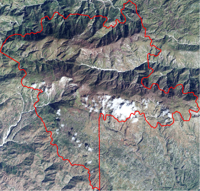
View of Macaya National Park aerial photo / Orthophoto CNIGS
Conclusion (Summary)
This work demonstrates the contribution of satellite imagery with high spatial resolution for plant classification and the monitoring of reconstruction in the natural environment.
This work made it possible to highlight certain problems or limitations, and sometimes certain solutions could be envisaged:
- No identification of plant species ... but type of vegetation (high and low)
- No cloudless images of this area (clouds on the ridges)
- Loss of information related to cloud shadow
- Need to have a very precise Digital Terrain Model to avoid a geometrical shift between images
- Confusion between bare soil and low vegetation, because dates in the dry season
- Confusion on shady slopes
- No significant trend between 2016 and 2017
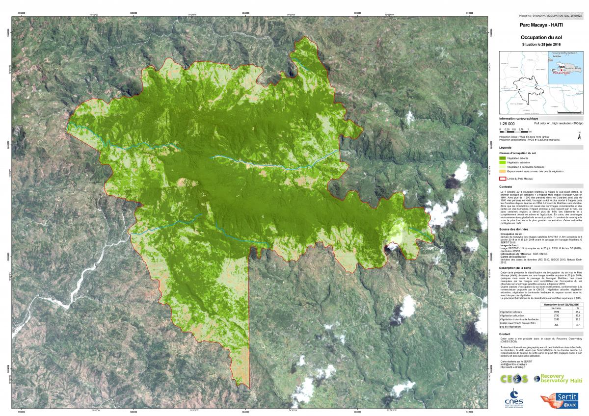
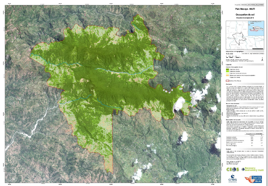
The main problem highlighted was the range shadow of the mountains on the images, which is why a detailed map has only been finalized on the T2 image corresponding to the moment when the sun is highest in the sky, and where the shadow is minimized. The interest here was to see where the forest was damaged, which led to the demand for three products in the service Copernicus EMS R & R: EMSN 051
- Pre-Mathieu (June, 25 2016) Land Cover Map of Macaya National Park :
Final delivery is available in the attached files :
- Final map in pdf and jpg 300dpi (also available .tif .tfw .jgw on request 100-200-300dpi)
- The VECTOR Database (dec 2017) in ZIP file
- The Presentation of the study (Workshop Dec 2017)
- The Pesentation of the study (Workshop Mai 2018)